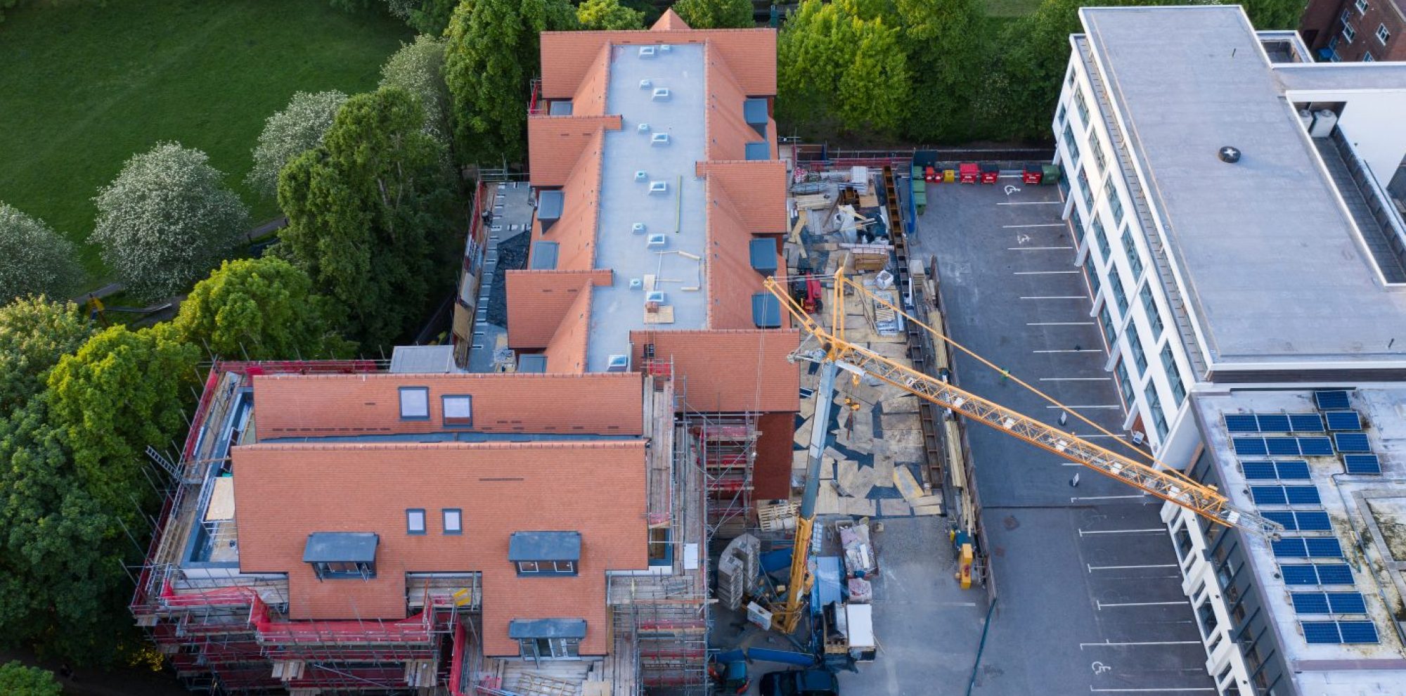
Below is a link to an ‘orthomosaic’, created using our Mavic 2 Pro. An orthomosaic is a photograph created by taking multiple aerial photos and then stitching them together, using software, to form a geometrically corrected and accurate single image. The advantage of these images is that very large areas can be photographed at high resolution allowing for great detail and accuracy. They are widely used for planning, mapping and modelling. Please view the example below, and zoom in to see the detail that the high resolution affords:
https://www.mapsmadeeasy.com/maps/public/09c1b023ceab4042acb728cfa452112f/