Our Services
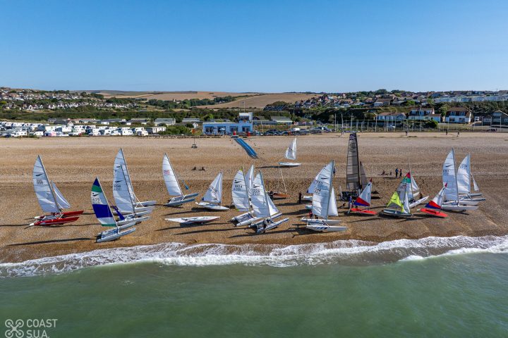
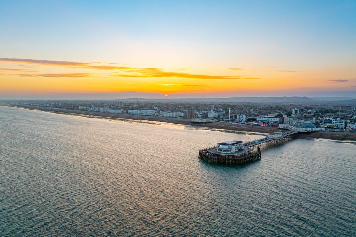
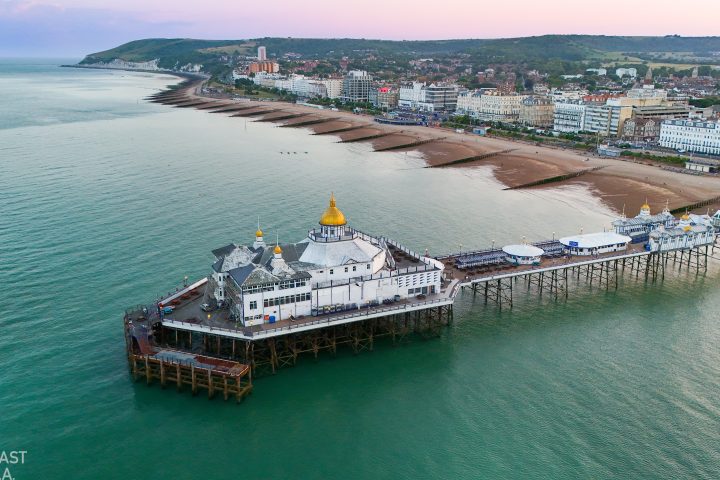
Coast SUA delivers high resolution aerial photography and videography.
Accredited by the CAA, we provide a range of photographic services including:
- Roof inspections and surveys
- Property marketing and surveys
- Events photography and video
- 2D mapping and 3D modelling
- Architectural and Landscape photography
- Golf Course Surveys
About Us
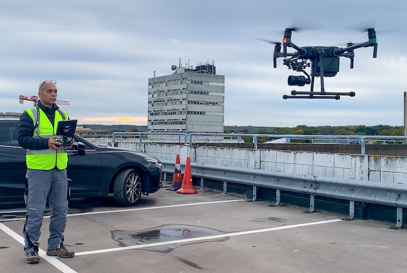
Coast SUA is focused on delivering assets including photos, video and mapping data, to the best standards using the safest procedures.
Coast SUA Ltd was established in 2018 and received an OSC (Operating Safety Case) status from the CAA at that time. The OSC is an enhanced qualification that increases the scope of Coast SUA Ltd drone operations. Needless to say, safety is paramount in all Coast SUA operations.
Latest News
Gate Street: The Farmhouse
Some portrait shots of the luxurious Farmhouse at Gate Street....
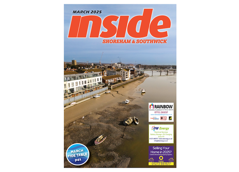
Inside Magazine Cover Shoot
We have provided another photo for a local magazine, but...

